N O R T H P O I N T S U R V E Y S
L A N D S U R V E Y O R S


Our Services
Our Service to You
Discover more about our range of professional services.
If you can’t find what you’re looking for, please feel free to get in touch with us – we will be more than happy to help.
Our Services

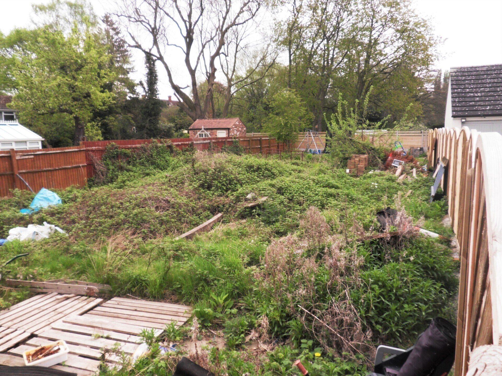
Topographical Surveys
Detailed topographical surveys at any scale for green field, brown field and existing developed sites prior to development, re-development, conservation or extension of the project.
We cover everything from Domestic Gardens to Full Housing Developments & Industrial Sites.
Our topographical surveys are related to Ordnance Survey height and plan datum using GPS technology. Surveys are output in 2D or 3D CAD format.

Measured Building Surveys
Measured surveys of buildings prior to redevelopment or extension. We provide accurate measured floor plans, building sections, external and internal elevations for any building size or type.
Domestic Dwellings, Farm Buildings (including Part Q), Industrial & Commercial Buildings, National Heritage Buildings & Churches.
Land Registry Plans
Accurate and clear plans to record the splitting or transfer of land, new boundaries or rectification of land ownership. Our plans conform to the strict requirements of the Land Registry in England, Scotland and Wales. Produced in hard copy or digital format for use by the legal profession.

Volume Calculations
Utilising 3D ground modelling software we can provide volume calculations for stock piles of rock salt, sand & gravel, coal, bio fuels and any other heaped material. We can also calculate cut and fill for muck shift operations.

Deformation Monitoring
We can establish a precise deformation monitoring scheme to detect and quantify millimetre movements over time in buildings, man made structures and natural features.

Inshore Hydrographic
Bathymetric surveys of inland lakes up to a maximum depth of 5 metres using our inshore survey vessel. We can calculate lake volumes with and without silt. We can provide watercourse cross sections and long sections. All surveys are related to Ordnance Datum by GPS and as such are Environment Agency compliant.
Click here
to see our full specifications of service